The starting point
Boundary surveyors established a stake at the Ohio River in August 1785. Hutchins used that point when he began the westward baseline.
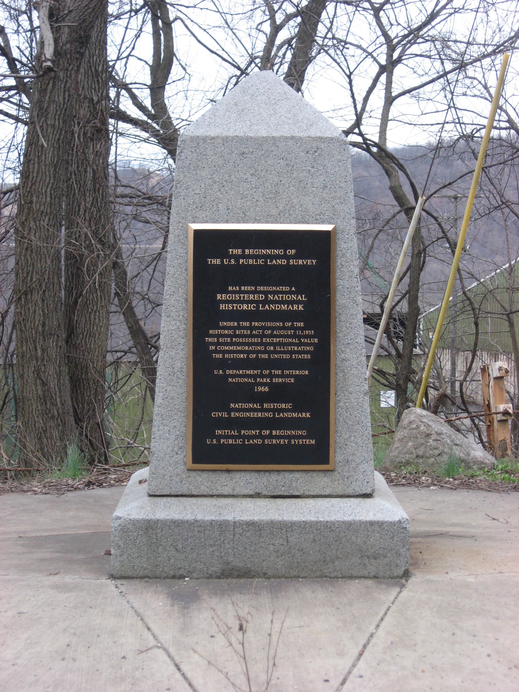
A small monument beside the Ohio River recalls an enormous undertaking: measuring western federal lands in a systematic grid.
Congress adopted the Land Ordinance on May 20, 1785. It established a regular framework for surveying federal western land before sale. Thomas Hutchins, Geographer of the United States, began the Geographer’s Line here on September 30.
The first Seven Ranges translated that policy into surveyed ground. Their framework helped shape later public-land surveys and the familiar geometry of townships, fields and roads across much of the country.
These lands already had Indigenous histories and inhabitants. A federal grid describes a system of measurement and disposal; it does not mean the land was empty.
Surveying context: ASCE ↗The place you can visit today commemorates the original survey point.
Boundary surveyors established a stake at the Ohio River in August 1785. Hutchins used that point when he began the westward baseline.
The monument’s inscription places the original point 1,112 feet south. National Park Service documentation describes the original tract as covered by water following changes to the river.
The archive records a September 30 ceremony marking the survey’s 175th anniversary. The photograph below brings that act of remembrance into view.
This is a dedication photograph from 1960, not an image of the 1785 survey.
Kent State documented a community beautification effort in 2015. Students built a fence backdrop at the small roadside site after concerns about its condition. The project is a concrete example of local stewardship; it does not establish the site’s current condition.
Read Kent State’s account ↗The monument is near the Ohio–Pennsylvania state line, where Ohio Route 39 meets Pennsylvania Route 68, east of downtown. Check current access and roadside conditions before stopping. The monument is the visitor destination; the historical riverbank point is a separate location.