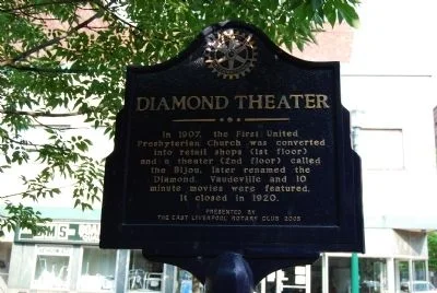
Diamond Theater
A former church became a place for vaudeville and early movies, remembered by a marker near the Diamond.
Market Street at Fifth Street
Mike Wintermantel · photographed July 3, 2011 · Historical Marker DatabaseEast Liverpool's story is bigger than a museum exhibit. Surveying history, pottery, river commerce, architecture, amusement, crime lore, decline and reinvestment all occupy the same few miles.
Scrub the slider, tap a year, or press play. The scene, facts and photography change with each chapter—from the first federal land survey to Crockery City and today's rebuilding efforts.
The East Liverpool Historical Society's research—much of it preserved or referenced through Carnegie Library, the Museum of Ceramics and Cleveland Memory—opens up far more than a simple pottery timeline.
The timeline gives you the arc. These experiences unpack the factories, vanished places, people and streets behind it.
Meet the companies, innovations and workers behind more than a century of ceramic production.
Explore the potteries →WHAT DISAPPEAREDTheaters, amusement parks, riverfront streets, kilns and transportation links that once defined everyday life.
See the lost city →Destroyed, moved, repurposed or bypassed places can become some of the most memorable parts of the heritage experience.
These numbers turn the industrial story into something visitors can understand at a glance.
Enter the city through its people, workplaces and landscapes. Archive views bring individual chapters into focus.
The marker network lets visitors discover theaters, hotels, pottery, highways, monuments and civic landmarks without needing to know what to search for.

A former church became a place for vaudeville and early movies, remembered by a marker near the Diamond.
Market Street at Fifth Street
Mike Wintermantel · photographed July 3, 2011 · Historical Marker Database
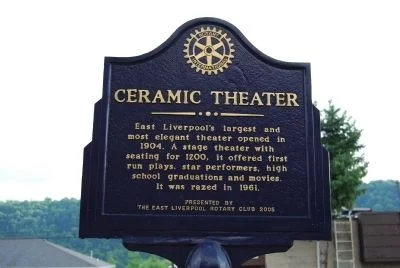
A vanished playhouse brought touring performers, graduations and movies into the pottery city’s daily life.
East Fourth Street near Market Street
Mike Wintermantel · photographed July 3, 2011 · Historical Marker Database
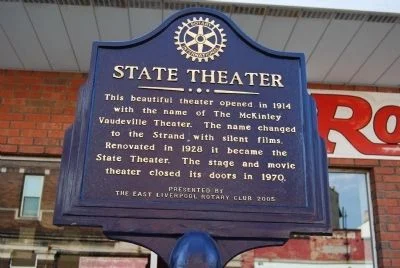
McKinley, Strand and State: one theater’s changing names trace the transition from vaudeville to the movie-house era.
St. Clair Avenue just north of Sixth Street
Mike Wintermantel · photographed July 3, 2011 · Historical Marker Database
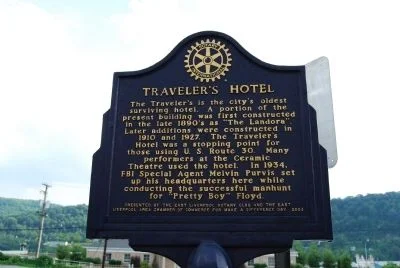
A historic hotel connects the city’s pottery trade, visiting performers and long-distance travel.
East Fourth Street near Market Street
Mike Wintermantel · photographed July 3, 2011 · Historical Marker Database
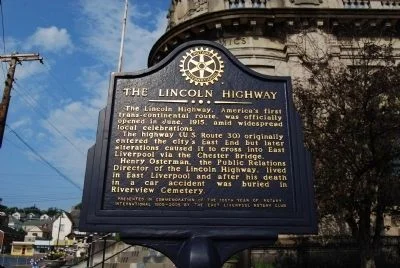
East Liverpool’s streets were part of a coast-to-coast travel story that changed as road routes and bridges evolved.
Broadway near East Fifth Street
Mike Wintermantel · photographed July 3, 2011 · Historical Marker Database
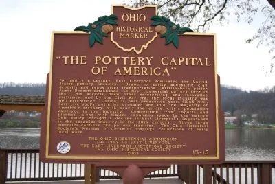
A riverfront marker links local clay, transportation and skilled potters to East Liverpool’s defining industry.
Broadway Wharf, reached from Walnut Street
Mike Wintermantel · photographed November 20, 2011 · Historical Marker Database
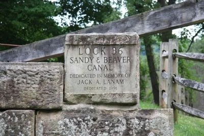
A restored canal lock makes the mechanics of moving freight through the creek valley visible.
Beaver Creek State Park, near Gaston’s Mill off Echo Dell Road
Dale K. Benington · photographed July 15, 2011 · Historical Marker Database
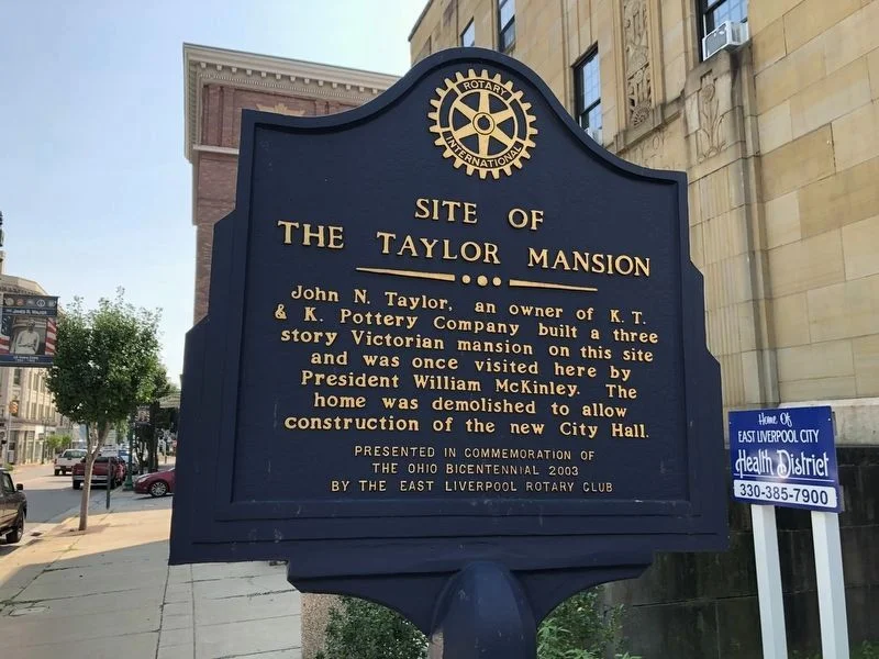
A marker at City Hall remembers the home of pottery industrialist John N. Taylor.
City Hall entrance near Sixth Street
Devry Becker Jones (CC0) · photographed September 10, 2020 · Historical Marker Database
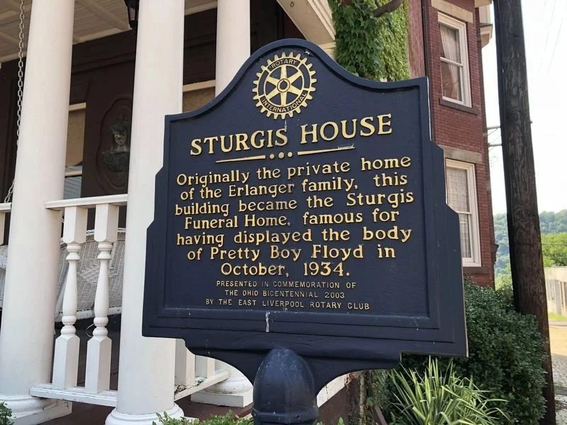
A former residence and funeral home became a local setting for the national story of Pretty Boy Floyd.
Peach Avenue at West Fifth Street
Devry Becker Jones (CC0) · photographed September 10, 2020 · Historical Marker Database
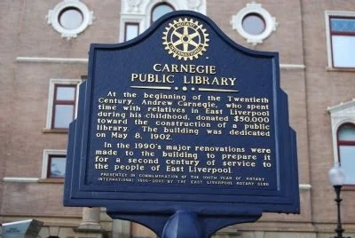
A library built for public access became one of the city’s most important keepers of local memory.
219 East Fourth Street
Mike Wintermantel · photographed July 3, 2011 · Historical Marker Database
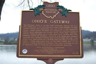
The riverfront tells a story of arrivals, freight and the people who shaped the pottery city.
Broadway Wharf, reached from Walnut Street
Mike Wintermantel · photographed November 20, 2011 · Historical Marker Database
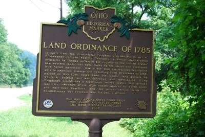
A roadside marker explains the federal survey system whose first baseline began near East Liverpool.
Harvey Avenue / Ohio Route 39, at the Ohio–Pennsylvania border
Mike Wintermantel · photographed July 3, 2011 · Historical Marker DatabaseOpen the complete marker guide → · Follow the Heritage Trail →
The Cleveland Memory East Liverpool collection was built with material from the East Liverpool Historical Society's photo archive and Cleveland Press collections.
Aerials, potteries, workers, bridges, downtown, Rock Springs, Pretty Boy Floyd and more.
Carnegie Public LibraryCompanies, kilns, industrial timelines and detailed local research.
Museum of CeramicsLotus Ware, tools, workers, manufacturing methods and the material story of Crockery City.
Labor, transportation, population growth and vanished landmarks reveal another side of the river city.
Federal census figures show the scale of East Liverpool’s transformation from a small river town into an industrial city.
Explore the records, museum research and archival collections behind these stories. Local lore stays labeled as lore unless corroborated.
Markers, buildings, museums and landscapes turn local history into a self-guided visitor experience.
The pottery boom built a city of factories, civic institutions and busy streets. Industrial losses and disinvestment left gaps in that landscape. Preservation has saved important pieces; reuse and reinvestment remain an uneven, unfinished task.
Pair archive views with the same locations today.
Compare the city →Collect heritage stops as you explore.
Start the passport →Walk and drive the stories behind the timeline.
Start the trail →Dig deeper into archives, museums and markers.
Open resources →Discover the Diamond, Fifth Street, schools, churches, pottery works and the Ohio River in a locally hosted collection. Read the printed captions, compare different views and open each card at full size.
Browse the postcard collection →Follow East Liverpool’s connection to the vanished park in Chester, with photographs of the journey and the people who operated it.
Explore Rock Springs Park →